Hi Everyone,
I am Chris from Avian Australia and I would like to share one of my land surveying projects with you all. We can all do so as part of this thread and share in brief the key challenges or about the gear used by you for the specific project.
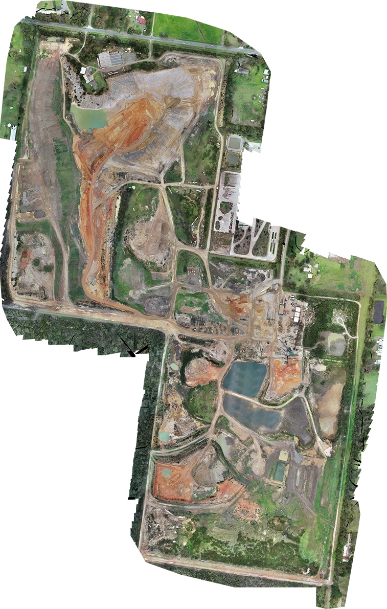
In this example we review the benefits of using Avian Australia for aerial surveying and mapping of a 83ha site area.
By partnering with Avian Australia, quarries and construction aggregates suppliers are able to confidently rely on our surveying and volume calculations to assist with stock visibility and improve financial management.
The client required a feature survey (contours), site map and volumetric calculations of various site features including stockpiles, unmined areas and mined areas. This information was delivered in a comprehensive report for the client. Our process was first to set and observe our survey control using the nearest CORS base station for RTK positioning. These points are set on the ground and measured to give local coordinate values within +/- 20mm.
To know more click here: https://www.avian.net.au/case-study/aerial-surveying-and-mapping/


Replies