Click the link to read about the efforts of my company to handle an intricate survey in a delicate environment.
Surveying in an Inhospitable Environment: Grassy Lake, Arkansas
The text from the link is as follows:
Surveying in an Inhospitable Environment: Grassy Lake, Arkansas
Low lying and delicate wetlands persist throughout much of southeastern Arkansas, yet drain tiles and clear cutting has greatly impacted the ecology of these areas making them very susceptible to drought. One such location is Grassy Lake in Hempstead County, Arkansas, about 20 miles northeast of Texarkana. Due to human impacts and an extended drought, the lake was suffering from depleted water levels. In order to maintain the pristine natural state of this region, biologists with the US Army Corps of Engineers required geospatial data to support their modeling and decision making.
The US Army Corps of Engineers Little Rock District turned to Continental Mapping to complete a hydrographic survey for Grassy Lake and the Little River. Project deliverables were to be used by the Little Rock District in their hydraulic analyses to better understand the effects of drought experienced in this area. The project team intended to perform a bathymetric survey of the lake via a boat and echosounder and conventional survey to control it in order to create a contour map of the current lake bed and compare that against historic 2007 lake levels. Upon arrival at the job site, however, the inhospitable environment quickly drove the field survey team to modify their approach.
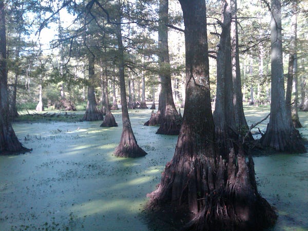
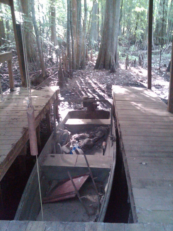
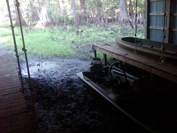
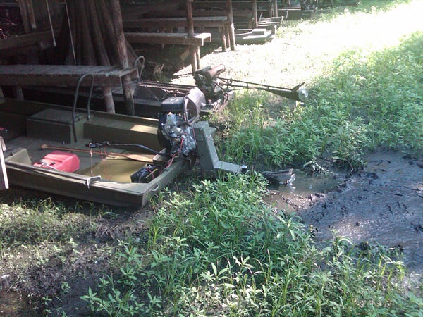
Grassy Lake is an environmentally sensitive area filled with 350 year old cypress trees. One of the oldest cypress tree stands in Arkansas exists there requiring survey crews to take extreme caution when collecting data to not damage the trees. At one point in time the project area was entirely owned by a private hunting club, further limiting access. Extremely low water levels due to the drought made access to the exposed lake bed nearly impossible by boat or by foot. Access to the area was further complicated by dangerous wildlife including alligators which were concentrated in the now smaller open water.
The original technical approach for this project was to perform bathymetric survey using an echosounder throughout the lake and utilize conventional survey to gather ground control and cross-sections of nearby Little River. After arriving on site and evaluating the challenging environment and access issues, Continental Mapping proposed a solution to replace the bathymetric survey with aerial lidar. The aerial lidar was used to determine the exposed lake bed, and was merged with previous bathymetric surveys and compared with previous lidar missions to develop a contour map of the lake bottom. Utilizing aerial lidar was feasible in that acquisition could occur during leaf-on conditions. However, to ensure success the density of ground mass points was increased to saturate the area and increase the ground responses. This data was then used to compare the waterline from 2007 to the current, much lower waterline.
Conventional survey was performed with three Trimble R-8 GNSS receivers with TSC2 Data Collectors. Trimble Geomatics Office software was used to compute GPS data. Thirty ground control points were determined with a GPS/RTK survey. Cross sections were taken on Little River at the locations indicated in the scope of work. RTK survey methods were used to determine the river cross sections.
The data was calibrated and adjusted to project control with an RMSE of less than .3ft. The resultant bare earth surface fell into alignment with the existing lidar mapping acquired in 2007 near normal pool. The previous waterline was used as a boundary with which to insert the new bare earth surface detailing the exposed lake bed. Contours were generated from the new surface at a 2’ interval to illustrate the area from the 2007 water line to the current, much lower, water line.
As a follow up to this project, additional cross sections of the remaining open water areas were taken several months later after rains brought water levels up. These were used to more closely approximate the volume of water within the lake and further aid hydraulic analysis.
Project Breakdown
Complexity
This project took place in a privately-owned, environmentally sensitive area, filled with dense vegetation and dangerous wildlife. The project area was nearly impossible to access by boat or foot due to historically low water levels. The team had to determine a solution to collect data in this low water period. It was decided that instead of collecting bathymetric surveys, airborne lidar would be collected at a high point density in leaf-on conditions and merged with bathymetric survey data from 2007 at the near normal water level. The resultant bare earth surface fell into alignment with past mapping data and the previous waterline was used as a boundary with which to insert the new bare earth detailing the exposed lake bed.

Choosing aerial lidar
The original technical approach was for hydrographic, single beam cross-sections of Grassy Lake. After learning more about the project area and discovering that due to low water levels, access to the lake was nearly impossible, it was decided to collect aerial lidar instead. An on-the-site project call was made to swap out one approach for another and a plane was immediately mobilized. Efficient and effective on-site problem solving is often key to project success. In addition, using aerial lidar to collect points over the exposed lake bed and combining this data with previous bathymetric surveys provided a safe alternative to attempting to collect lake cross sections.
Validating the use of lidar for environmental purposes
This project shows how aerial lidar is a viable method to study and display environmental sensitive or difficult to access locations. Comparing this study to previous years, allows an accurate display of changes in the water level and surrounding swamp vegetation. In addition, this project is a great example of how to analyze effects of drought quickly and accurately. Accuracies of the geospatial data were derived within 0.3’. The geospatial data derived from the project will be used for future hydraulic studies performed by the USACE Little Rock District.
Business as usual — on time and on budget with a happy client
Continental Mapping completed this project before the project deadline and stayed on budget. Not only was the project completed within the schedule, the client was very satisfied with our data.

Thoughts
awesome post... thanks for sharing!