Show us why the public should always call a land surveyor

Where are you surveying?

As-built scanning surveys using 3D laser scanning technology have become integral in the architecture and construction industry, facilitating accurate documentation and representation of existing structures. However, despite the numerous benefits, professionals in the field encounter various challenges that can impact the efficiency and accuracy of these surveys. Drawing on the insights of seasoned 3D laser scanning professionals who have extensive experience collaborating with architects, this article delves into the hurdles faced by companies engaged in as-built scanning surveys.

Data Complexity and Interpretation

One of the primary challenges faced by 3D laser scanning companies is the complexity of the data generated during surveys. According to experienced professionals, the sheer volume and intricacy of point cloud data can pose difficulties in interpretation. Architects rely on this data to inform their designs, making it crucial for scanning professionals to effectively filter and present information in a comprehensible manner. Striking a balance between providing detailed data and ensuring its accessibility to architects is an ongoing challenge in the industry.

Integration with BIM

Building Information Modeling (BIM) is a cornerstone in modern architecture, enhancing collaboration and project management. However, integrating 3D laser scanning data seamlessly into BIM workflows remains a significant hurdle. Professionals note that ensuring compatibility between scanning outputs and BIM software can be time-consuming and requires a deep understanding of both technologies. Achieving a smooth integration is crucial for architects to leverage the full potential of 3D laser scanning data in their design and planning processes.

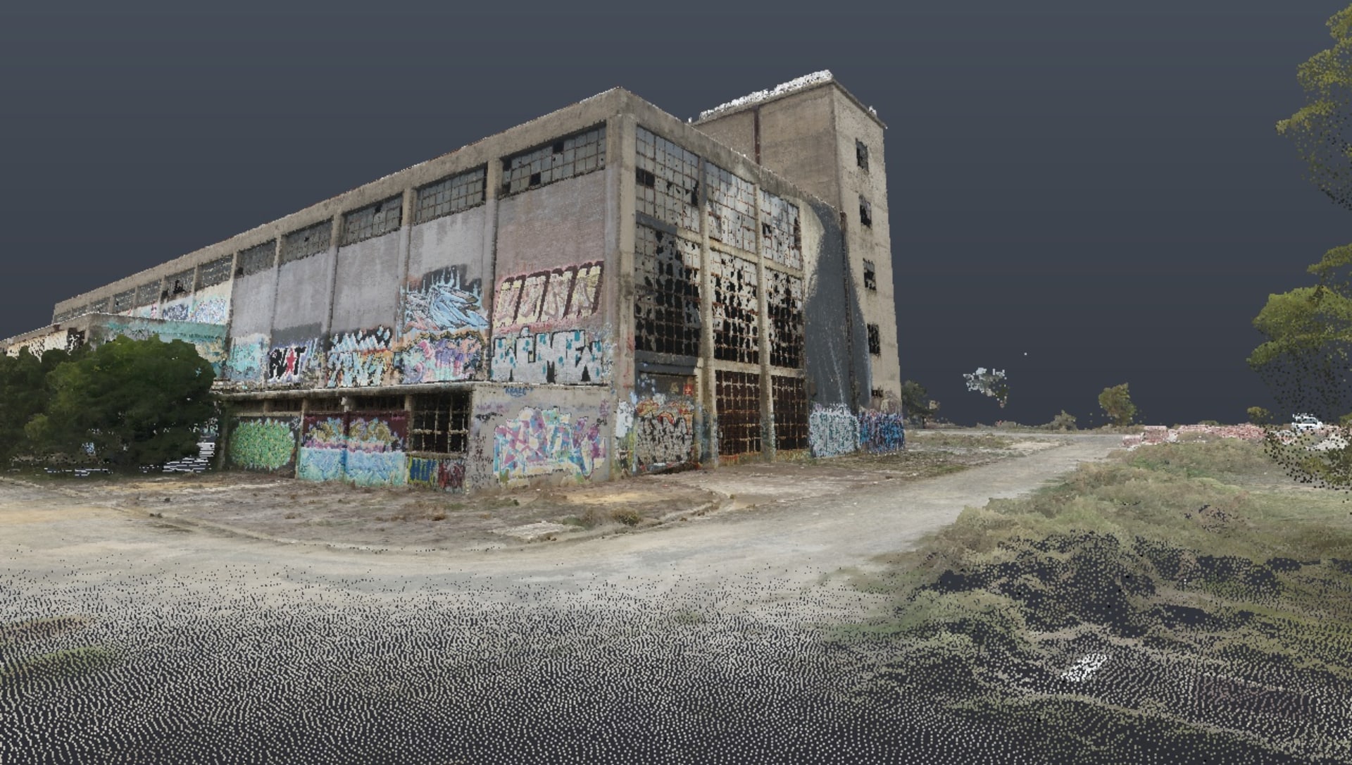
Powerhouse-1.jpg

Accuracy and Calibration

Achieving high accuracy in as-built scanning surveys is paramount, but it comes with its own set of challenges. Calibration issues with laser scanners can lead to inaccuracies in point cloud data, affecting the overall precision of the survey. Professionals emphasize the importance of regular calibration and meticulous quality control measures to mitigate such challenges. The collaboration between scanning experts and architects relies heavily on the reliability of the data, making accuracy a non-negotiable aspect of the scanning process.

Time and Resource Constraints

Experienced 3D laser scanning professionals acknowledge the time and resource constraints inherent in conducting comprehensive as-built surveys. The intricate nature of many architectural structures, coupled with the need for precise data collection, can extend project timelines. Professionals underscore the importance of adequate planning and resource allocation to address these challenges. Effective communication and collaboration between scanning teams and architects are essential to manage expectations regarding project timelines and deliverables.

Client Education and Expectations

Another challenge highlighted by industry professionals is the need for client education regarding the capabilities and limitations of 3D laser scanning technology. Clients, including architects, may have unrealistic expectations about the speed and ease with which scanning surveys can be conducted. Establishing clear communication channels to educate clients about the intricacies of the process and the time required is crucial in managing expectations and ensuring successful collaborations.

Conclusion

In conclusion, as-built scanning surveys using 3D laser technology offer a wealth of opportunities for architects and construction professionals. However, the challenges discussed by experienced scanning professionals underscore the need for continuous innovation, collaboration, and education within the industry. Overcoming these hurdles will not only enhance the efficiency of as-built scanning surveys but also contribute to the seamless integration of 3D laser scanning technology into the broader architectural landscape.
ā˜…
ā˜…
ā˜…
ā˜…
ā˜…
Votes: 0
E-mail me when people leave their comments –
Land Surveyor

Chris is a technology enthusiast from Melbourne and the GM at Avian Australia - a speciality surveying, imaging and reality capture company partnering with the AEC industry.

You need to be a member of Land Surveyors United - Global Surveying Community to add thoughts!

Join Land Surveyors United - Global Surveying Community

Share your Surveyor Articles

Surveying Articles is a place for members to Share Land Surveying related articles, presentations and knowledge with the Land Surveyors United Community. Post or embed articles for future generations of land surveyors.

Surveying Articles and Presentations

Do you have an article about Land Surveying that you would like to share?

Land Surveying is a timeless art and science and it is therefore, evergreen! You may also know that a lot of older publications have gone away, unfortunately.   If you have written or published land surveying articles in the past, we would be honored for you to share them here with us.  If it is an older article, you can even republish it here with updates and reflections.  

class="block"Tip:   If you published an article in the past on one of the older sites which no longer exist, you can use the Wayback Machine to find it.  Then just copy/paste the old article inside a new post here.  Just be sure to tell us where it was previously posted.

Want to embed a PDF Document?

 If you have a PDF document or article related to land surveying that you would like to embed inside an article post, simply copy/paste the following code block into the HTML view of the post editor and replace the BOLD part of the code with the URL of the PDF you'd like to embed.   

Code to use:

<iframe src="https://docs.google.com/viewer?url=https://landsurveyorsunited.github.io/cssfiles/manuals/Surveying-Photos-Submitted-Land-Surveyors-United.pdf&embedded=true" frameborder="0" height="500px" width="100%"></iframe>

TIP:  You can also upload your PDF using the file upload button and then copy/paste the URL of the document you uploaded with the BOLD part of the code above to get a flippable PDF like so:

Uploading PDF land surveying documents to Surveying Articles

Differences between Forums, Blogs and Article posts

Forum Posts are great for asking questions which have a definate answer.  Forum posts are best for a quick exchange of information between Land Surveyors United members.   Please note that All Community Hubs have their own dedicated Forums so if your post is related to a specific hub, it is best to ask your question or share your tip inside the hub in which it belongs for targeted answers.  For example, if your question relates to Leica equipment, ask your question inside the Leica Hub forum for best results as all members inside that hub uses the equipment in question.  Likewise if your question pertains to a Location, you should consider making your post inside the appropriate hub.

Add Discussion

Blog Postsdiffer from Forum posts because you can embed and upload different kinds of information.  Blog posts are best for presenting information and updates for feedback and sharing.  When posting a Blog Post, you can also publish a short excerpt at the bottom which is what most members will see before reading the blog post.  Blog posts are also great for posting new surveying projects and digests of links to multiple surveying topics or your own website.   Things that can be embedded into Blog Posts are videos, images, slideshows, powerpoints, spreadsheets, PDFs, documents and more.

Add Blog Post


Articles are similar to Blog Posts in all ways except one.  Articles allow for you to post an Author Block at the bottom with links to your contact info, website information, credentials, etc. Similar to Blog Posts, things that can be embedded into Blog Posts are videos, images, slideshows, powerpoints, spreadsheets, PDFs, documents and more.  Similar to both types above, Hub Owners can add article sections and features to any hub they control on the community.

Add Article

Land Survey Guides