A Tale of Two Feet - Dropping U.S. survey foot and Adopting the International survey foot
Views: 417
NOAA, NIST prepare to drop U.S. survey foot and adopt the international survey foot in a move towards more precise positioning.
This video explains the difference between the U.S. survey foot (sFT) and the international survey foot (iFT) and the importance of this distinction when working with map projections. The National Geodetic Survey, in partnership with The COMET Program, offers a library of videos related to geodesy and mapping.
Our vision at NOAA's National Geodetic Survey is that everyone accurately knows where they are and where other things are at all times and in all places.
— Brett Howe, NGS geodetic services division chief
Since 1959, land surveyors and other geospatial professionals have had two standards to measure the length of a foot — the U.S. survey foot and the international foot. Both have been supported by NOAA’s National Geodetic Survey and the National Institute of Standards and Technology. And they’re not exactly equal.
The difference between the two measurements is very small and barely noticeable in everyday use and is a function of their relationship to the standard meter. A U.S. survey foot is expressed as a fraction — 1200/3937 meters — while an international foot is expressed as a decimal, exactly 0.3048 meters. That’s a difference of only one one-hundredth of a foot per mile.
But when you begin to measure or use coordinates that span hundreds or thousands of miles, that minor difference can reach a few to several feet. In such cases, accidentally confusing the two types of feet can severely impact the precise coordinates and measurements used in engineering, surveying, mapping, agriculture, and other industries that depend on accurate positions.
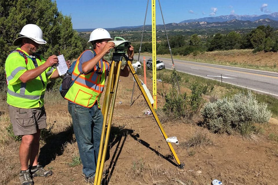
NOAA surveyors Charles Geoghegan and Benjamin Erickson conducting a geodetic surveying project in Colorado in the summer of 2017.
That’s why NIST and NOAA are retiring the U.S. survey foot, and standardizing on the international foot. And the modernization of the National Spatial Reference System, a precise coordinate system that defines latitude, longitude, height, scale, gravity, shoreline, and orientation throughout the U.S. in 2022, is the perfect time to move the U.S. toward a single, uniform definition of the foot.
“Our vision at NOAA's National Geodetic Survey is that everyone accurately knows where they are and where other things are at all times and in all places,” said Brett Howe, geodetic services division chief at NGS. “To that end, working with NIST on removing this confusion is a step in the right direction for precise positioning applications.”
Public comments are welcomed through Dec. 2, 2019, in order to ensure a smooth transition to the new standard. Once this step is taken, American surveyors will be starting out on the right foot or, more precisely, the same foot.
You need to be a member of Land Surveyors United - Surveying Education Community to add thoughts!
Thoughts